Monday, June 8, 2015

Watson Lake - Signpost forest


Just like yesterday, we got up and out, drove 150 miles, and landed n Watson Lake (by design).  In 1942, a lonely US soldier working on the Alaska highway, put a sign on a pole with an arrow and mileage pointing to his home town.  Others followed by posting their own signs.  This has grown into a 'signpost forest' with about 80,000 signs hung by visitors from all over the world.


Our sign is there now too.  When reporting to the visitor center with our sign, they handed us a hammer and nails and said put it anywhere we want – good luck finding a space.  We did.
We took a long walk around a lake with an interpretive trail in search of birds.  No birds but lots of spring wildflowers.  Creating a separate post about wildflowers.
Camping in Watson lake is so strange.  There is a 'downtown' camp, which is very expensive, on a dirt parking lot, one RV right next to another.  The second choice was another dirt parking lot behind a gas station one block away.  We went there for a site at the end by the woods.  They both offered wi-fi.  Welllllll, do you think we could get a wi-fi signal anywhere??   Not a chance.  Note to self - take the computer into the registration area and test the wi-fi, on the spot, right in front of them, prior to registration.  It still might not matter.  Most places report spotty wifi and will say it's down for a few minutes.  The bottom line is that internet access is universally horrible, even in the largest towns along Alaska Highway.  All the RVers grumble about it.


Hot Springs and animals


 After a wonderful stay at Muncho Lake, we moved along, only about 150 miles to Liard Hot Springs.  Laird is another British Columbia provincial park situated near another amazing natural attraction.

We are developing a natural 'rhythm' of travel which works very well for the 'first come, first serve' process of obtaining a provincial park camp site.  We rise early, with the sun, and are usually on the road by about 7:30.  We take turns driving, stop for short hikes and other sites, arrive early to midafternoon, set up camp, and see what there is to see (we generally know what there is to see).
The drive to to Liard was beautiful


And we saw sheep!They are so cute, and they come right down to the edge of the road.  It’s treacherous for them.


The GPS is funny.  Since we have the RV version, our ‘vehicle’ is an RV on the monitor.  When we enter a campsite, this is what our ‘location’ looks like.  Hope we don’t drive into the water!


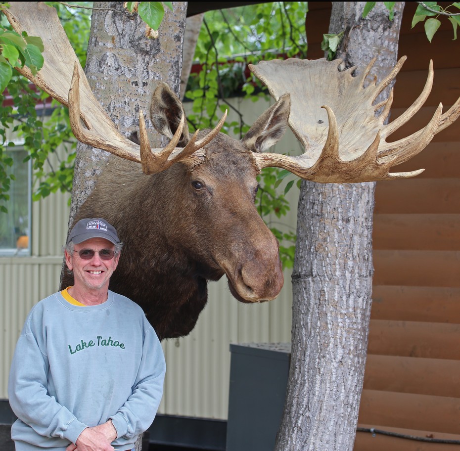
At Liard, there was a wonderful walk through a bog and forest, ending at a hot spring.  Along the way we saw rabbits, Canadian geese, terns, a large bull moose (which escaped photograph efforts), tanker mosquitoes, and extensive wildflowers.

The hot springs ranges from intolerably hot, to very comfortable, as we progressed down the stream.  There was a rock monument at the hot end where one could place a rock ... if they live to make it that far.  We didn't try.


We walked the path to the springs several more times in an effort to find thatbull moose, but never saw him again.

It is so remote here. Certainly no phone service.  NOTHING comes in on the radio.  We carry portable radios, and can usually receive something, even a ‘bounce’ from Indianapolis, or wherever, but nothing comes in.  There were signs posted to call 911 in the event of an emergency – don’t know how we’d do that without phone service.

There is a herd of Wood Bison around Liard.  Lucky guests get to see them.  We went out for a walk, returning by the front gate of the park to be greeted by a bison !  We took a wide swing coming back in.


He worked his way into the campground (which he’s not allowed to do) so the park ranger had to chase him off several times using a ‘bear banger’ gun.  It’s a loud noise maker – we heard it go off several times during the evening.  The bison weigh over 2000 pounds and can run right through a camper trailer.We saw more of them heading out the next morning.  Leaving early has wildlife viewing benefits.


We also were very lucky to see this group of Grizzly bears

a


On to Watson Lake.


Friday, June 5, 2015

6.4.15  No pictures today

British Columbia and the Yukon Territory have a wonderful provincial park system. The parks are located near travel ‘targets’ (beautiful lakes, hot springs, small towns), which makes it easy to travel through the provinces.  They vary in size (15 – 75 camping spots), are clean and well maintained. The camp sites are spacious and primitive (no electric or water). Some camps have potable water, some do not. 

Connectivity to the ‘outside’ world is pretty bad compared to what we are used to.  Generally, there is no phone service along the highway or in the campgrounds.  If we get to a town with more than 500 people, we sometimes get a phone signal.  Very few businesses have viable wi-fi.  We went to a public library in search of wi-fi, and while they had it, the service was so slow we couldn’t update the blog.  So, today’s post will have no pictures.

We have met lots of interesting people.  Many are on long trips to Alaska as a bucket list project.  We met folks from New Zealand who flew to Seattle, bought a truck and trailer, and are spending all summer doing the Alaska circuit.  They will then will leave the rig in storage back in Seattle, to come back next year to do another travel circuit. It is their plan to do this for 4-5 years to see various parts of North America.  We met a couple who built their camper (he’s a cabinet maker).  It was beautiful.  Everyone has a story about why they are here, how they got here, and where they are going.

Small town museums are interesting.  They have video’s and DVD’s to show visitors, on demand.  We were in a museum where they turned off the space heater in the museum, so that they could turn on the space heater in the video room.  Otherwise, they’d have blown a fuse.  Everything in these small town is very quaint. 

We saw great animals on the last two stops – will post pictures when we get to Whitehorse – if we can find internet there !

Moose, bears, sheep and fish


We keep pushing north. The days are getting longer, the roads lonelier.  We are seeing some of the same folks at rest stops and campgrounds that we had seen days before.  There is a group of us heading north – sometimes on the same schedule, sometimes hopscotching each other.  It’s very interesting. 

Before arriving in Dawson Creek (the town where the Alaska Highway begins), we stop briefly in Chetwynd where there is an annual chain saw carving competition
Very skilled sculptors:


A special shout out to Gerry and Sherry, who invited us to join them into town (in a normal sized vehicle) to visit the Mile 0 visitor center, go to a real restaurant for lunch, and stop by Walmart for a few essentials.  We almost felt like normal folk, rather than the gypsies we’ve become.
Tom standing on the ACTUAL Mile 0 landmark (not the photo ‘op’ one constructed near the visitor center):

We will spend the next couple weeks working our way up the AlCan before actually ‘landing’ in Alaska.  The Alaska Highway is pretty amazing.  Built in 1942 by 11,000 military troops and 16,000 civilians, the 1523 mile road was completed in 9 months.  It includes 133 bridges and 8000 culverts.  The crews suffered great hardships during the construction.

This blog is in two chapters –

Chapter 1 – the first 300 miles Dawson Creek to Fort Nelson

The weather is all over the map, sometimes grey and misty, or snowy, other times sunny and almost hot.


We had about 300 miles of this:

Other sites:


Our first Moose !  They are hard to see – this one was running along the edge of the woods on the opposite side of the highway from us as we went sailing by.


We also saw a black bear feeding on the side of the road.

Our campground in Fort Nelson is right beside a pioneer museum housing the first area post office, a trapper cabin and a great collection of ‘pioneer’ artifacts such as hand saws and tools,  pants stretchers,  dial telephones,  Philco black and white TV’s and many other things we grew up with,  Huh?  Pioneers?  These parts were settled very recently !

First Post Office in Fort Dawson, service 32 residents:


Chapter 2 – the next 150 miles to Muncho Lake

Well, after an easy 300 mile first relatively easy day, we were wondering what all excitement was over driving the AlCan.  Yes, it’s undivided, only one lane in each direction, with some large logging and oil industry trucks, but still a relatively easy drive.

Everything became clearer today when we covered 150 miles at a walloping average of 35 miles per hour.  It was a magnificently beautiful day, and the drive was profoundly more interesting than yesterday.   

Road construction, bears, sheep, narrow bridges, sharp curves, loose gravel patches, eroded shoulders and steep grades all slowed us down.


We made a brief stop for a cinnamon bun from a shop along the road.  It’s a local favorite … terribly sinful.


We overnighted at Muncho Lake – known for good fishing and beautiful green water (copper oxide leaching in). 


View from the top of our camper.


Kris bought a fishing license. Good thing ….


Dinner at the homestead.


After dinner guest


Night night from our window (sunset about 10:30)